
Liverpool - Southport Line: Birkdale - Grosvenor Road level crossing
(Merseyrail Northern Line)
Our journey today starts at Southport Chapel Street and follows the line to the site of the erstwhile Liverpool Exchange using Google Streetview images. Should you use the individual Google navigation tools, and wish to restore the page to its default views, just refresh the page.
As it takes a few seconds for each of the Google maps to be retrieved, the line is broken into sections, and generally these are station-to-station. Each Google Streetview image is presented facing the direction of travel, in this case southwards. The intention is that to see the northwards view, the Google navigation tool needs to be used.
This section starts with Birkdale Station, with a Liverpool-bound train leaving. Birkdale was was clearly a one of the premier stations on the line, in this case have a rather splendid subway, the entrances to it being visible either side of the crossing.
View Larger Map
Belgrave Place gives an excellent view of the line away from stations and crossings, and this is a view in the Liverpool direction.
Another view southwards, this time from Crosby Road.
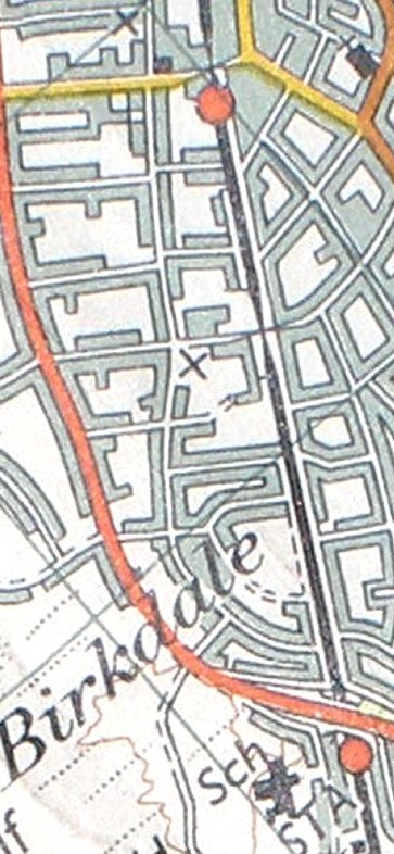
Grosvenor Road level crossing completes this section.
Copyright J K Wallace, t/a 'Hall Royd Junction' 2013-2023 email: Hall Royd Junction
7 Portobello Close, Chesham, Bucks. HP5 2PL, UK
tel: +44 (0)7513 412880