
Manchester - Normanton via Todmorden: Newton Heath - Nuthurst Road Bridge
The journey starts at Manchester Victoria and follows the Calder Valley mainline of the Lancashire & Yorkshire Railway to Normanton via Todmorden using Google Streetview images. Should you use the individual Google navigation tools, and wish to restore the page to its default views, just refresh the page.
As it takes a few seconds for each of the Google maps to be retrieved, the line is broken into sections, and generally these are station-to-station. Each Google Streetview image is presented facing the direction of travel, in this case eastwards - unless otherwise stated.
Next >
The line to Rochdale, Todmorden and Normanton curves away to the left, whilst the Oldham Loop - now part of the tram system - curves to the right. In the centre is Newton Heath, still a centre for motive power, although new servicing diesel multiple units. Swing the Google cam round to view the tram bridge crossing the Network Rail tracks out of Victoria.
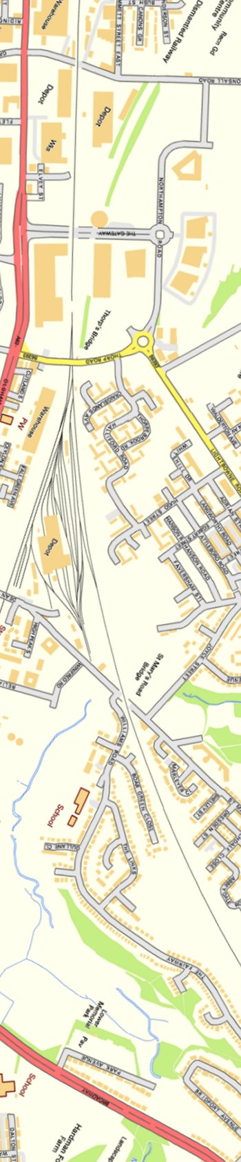
The very end of Dean Lane allows a glimpse of the eastern-end of Newton Heath depot.
St Mary's Road allows further views of the Newton Heath sidings, and here including a buffer stop.
Nuthurst Road bridge looking east.
Contains Ordnance Survey data © Crown Copyright and database right 2013

Copyright J K Wallace, t/a 'Hall Royd Junction' 2013-2023 email: Hall Royd Junction
7 Portobello Close, Chesham, Bucks. HP5 2PL, UK
tel: +44 (0)7513 412880